
Emhouse topographic map
Interactive map
Click on the map to display elevation.
About this map
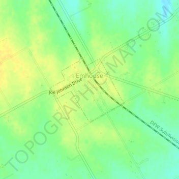
Name: Emhouse topographic map, elevation, terrain.
Location: Emhouse, Navarro County, Texas, United States (32.15561 -96.58425 32.16546 -96.57096)
Average elevation: 459 ft
Minimum elevation: 420 ft
Maximum elevation: 492 ft
Navarro County trails, hiking, mountain biking, running and outdoor activities