
Trinity River topographic map
Interactive map
Click on the map to display elevation.
About this map
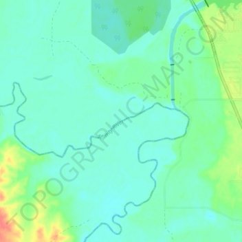
Name: Trinity River topographic map, elevation, terrain.
Location: Trinity River, Tool, Navarro County, Texas, United States (32.18060 -96.17689 32.24042 -96.14112)
Average elevation: 299 ft
Minimum elevation: 259 ft
Maximum elevation: 427 ft
Texas trails, hiking, mountain biking, running and outdoor activities