
Dallas topographic map
Interactive map
Click on the map to display elevation.
About this map
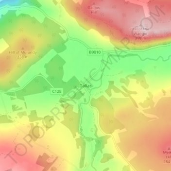
Name: Dallas topographic map, elevation, terrain.
Location: Dallas, Moray, Scotland, IV36 2SA, United Kingdom (57.53156 -3.48886 57.57156 -3.44886)
Average elevation: 673 ft
Minimum elevation: 259 ft
Maximum elevation: 1,070 ft