
Buck Creek topographic map
Interactive map
Click on the map to display elevation.
About this map
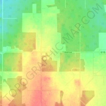
Name: Buck Creek topographic map, elevation, terrain.
Location: Buck Creek, Brazeau County, Alberta, T0C 0S0, Canada (53.08480 -114.91632 53.12480 -114.87632)
Average elevation: 2,887 ft
Minimum elevation: 2,795 ft
Maximum elevation: 2,976 ft