
Lockhart topographic map
Interactive map
Click on the map to display elevation.
About this map
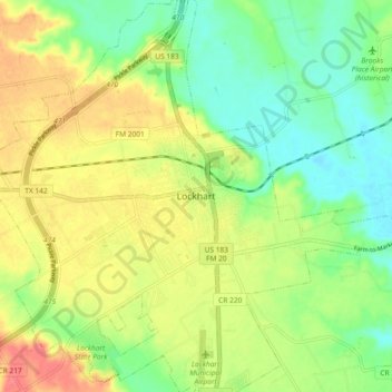
Name: Lockhart topographic map, elevation, terrain.
Location: Lockhart, Caldwell County, Texas, 78644, United States (29.84321 -97.71363 29.92321 -97.63363)
Average elevation: 515 ft
Minimum elevation: 420 ft
Maximum elevation: 630 ft
Caldwell County trails, hiking, mountain biking, running and outdoor activities