
Bridgeport topographic map
Interactive map
Click on the map to display elevation.
About this map
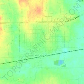
Name: Bridgeport topographic map, elevation, terrain.
Location: Bridgeport, Lawrence County, Illinois, 62417, United States (38.70162 -87.76878 38.71846 -87.74773)
Average elevation: 463 ft
Minimum elevation: 407 ft
Maximum elevation: 525 ft
Lawrence County trails, hiking, mountain biking, running and outdoor activities