
Yamhill topographic map
Interactive map
Click on the map to display elevation.
About this map
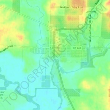
Name: Yamhill topographic map, elevation, terrain.
Location: Yamhill, Yamhill County, Oregon, United States (45.33230 -123.19509 45.34711 -123.17616)
Average elevation: 180 ft
Minimum elevation: 131 ft
Maximum elevation: 249 ft
Yamhill County trails, hiking, mountain biking, running and outdoor activities