
Ashkum topographic map
Interactive map
Click on the map to display elevation.
About this map
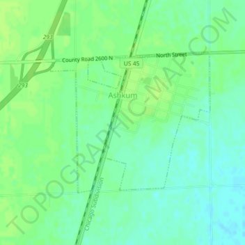
Name: Ashkum topographic map, elevation, terrain.
Location: Ashkum, Iroquois County, Illinois, 60911, United States (40.86956 -87.96561 40.88498 -87.94234)
Average elevation: 663 ft
Minimum elevation: 640 ft
Maximum elevation: 676 ft
Iroquois County trails, hiking, mountain biking, running and outdoor activities
Other topographic maps
Click on a map to view its topography, its elevation and its terrain.