
Kilgore topographic map
Interactive map
Click on the map to display elevation.
About this map
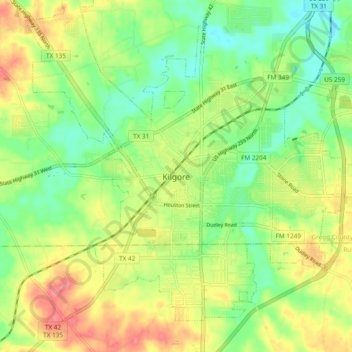
Name: Kilgore topographic map, elevation, terrain.
Location: Kilgore, Gregg County, Texas, 75662, United States (32.34607 -94.91585 32.42607 -94.83585)
Average elevation: 354 ft
Minimum elevation: 249 ft
Maximum elevation: 482 ft
Gregg County trails, hiking, mountain biking, running and outdoor activities