
Town of Pacific topographic map
Interactive map
Click on the map to display elevation.
About this map
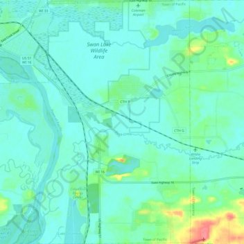
Name: Town of Pacific topographic map, elevation, terrain.
Location: Town of Pacific, Columbia County, Wisconsin, United States (43.46782 -89.44767 43.55543 -89.36397)
Average elevation: 804 ft
Minimum elevation: 764 ft
Maximum elevation: 974 ft
Columbia County trails, hiking, mountain biking, running and outdoor activities
Other topographic maps
Click on a map to view its topography, its elevation and its terrain.