
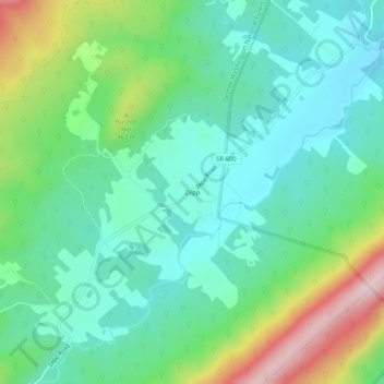
Zepp topographic map
Interactive map
Click on the map to display elevation.
About this map
Name: Zepp topographic map, elevation, terrain.
Location: Zepp, Shenandoah County, Virginia, United States (38.98677 -78.51779 39.02677 -78.47779)
Average elevation: 1,257 ft
Minimum elevation: 919 ft
Maximum elevation: 2,103 ft
Shenandoah County trails, hiking, mountain biking, running and outdoor activities