
China Creek topographic map
Interactive map
Click on the map to display elevation.
About this map
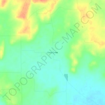
Name: China Creek topographic map, elevation, terrain.
Location: China Creek, San Saba County, Texas, United States (31.23906 -98.80977 31.27906 -98.76977)
Average elevation: 1,293 ft
Minimum elevation: 1,230 ft
Maximum elevation: 1,385 ft
San Saba County trails, hiking, mountain biking, running and outdoor activities