
Hughesville topographic map
Interactive map
Click on the map to display elevation.
About this map
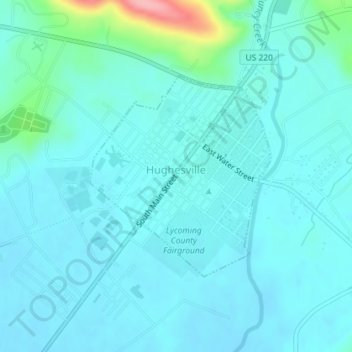
Name: Hughesville topographic map, elevation, terrain.
Location: Hughesville, Lycoming County, Pennsylvania, United States (41.23093 -76.73545 41.24640 -76.71702)
Average elevation: 597 ft
Minimum elevation: 541 ft
Maximum elevation: 948 ft
Lycoming County trails, hiking, mountain biking, running and outdoor activities