
Sydney City Marine topographic map
Interactive map
Click on the map to display elevation.
About this map
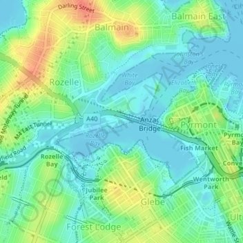
Name: Sydney City Marine topographic map, elevation, terrain.
Average elevation: 52 ft
Minimum elevation: -33 ft
Maximum elevation: 161 ft
Other topographic maps
Click on a map to view its topography, its elevation and its terrain.
Hazelbrook
Australia > New South Wales > Sydney
Hazelbrook is a town in New South Wales, Australia (Elevation: 675 metres) It is located 91 kilometres west of Sydney and 16 kilometres east of Katoomba in the Blue Mountains on the Great Western Highway.
Average elevation: 2,001 ft
Woodford
Australia > New South Wales > Sydney
Woodford is a village in the Blue Mountains in New South Wales, Australia, about 90 kilometres west of the Sydney CBD. Its elevation is 609 metres (1,998 ft) above sea level. It is situated on the Great Western Highway and has a railway station (opened in 1868 as Buss's Platform) on the Main Western railway…
Average elevation: 1,785 ft
Berowra
Australia > New South Wales > Sydney
Berowra is located 44 kilometres north of the Sydney CBD and lies at an altitude of 215 metres. Surrounded by bushland, it borders the national parks of both the Berowra Valley and Ku-ring-gai Chase.
Average elevation: 472 ft
Sydney International Regatta Centre
Australia > New South Wales > Sydney > Penrith
Average elevation: 62 ft
Penrith
Australia > New South Wales > Sydney > Penrith
Penrith is a town in New South Wales, Australia, located in Greater Western Sydney, 55 kilometres (31 mi) west of the Sydney central business district on the banks of the Nepean River, on the outskirts of the Cumberland Plain. Its elevation is 32 metres (105 ft).
Average elevation: 112 ft