
Benzer topographic map
Interactive map
Click on the map to display elevation.
About this map
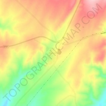
Name: Benzer topographic map, elevation, terrain.
Location: Benzer, Kaman, Kırşehir, Central Anatolia Region, Turkey (39.29110 33.53846 39.33110 33.57846)
Average elevation: 3,356 ft
Minimum elevation: 3,012 ft
Maximum elevation: 3,619 ft