
Emst topographic map
Interactive map
Click on the map to display elevation.
About this map
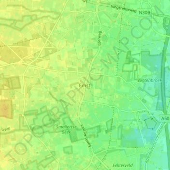
Name: Emst topographic map, elevation, terrain.
Location: Emst, Gelderland, Nederland, 8166, Nederland (52.29830 5.95606 52.33830 5.99606)
Average elevation: 43 ft
Minimum elevation: 3 ft
Maximum elevation: 72 ft
Other topographic maps
Click on a map to view its topography, its elevation and its terrain.
Gortel
Nederland > Gelderland > Emst > Gortel
Gortel, Emst, Epe, Gelderland, Nederland, 8166, Nederland
Average elevation: 115 ft