
Cape Lookout topographic map
Interactive map
Click on the map to display elevation.
About this map
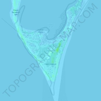
Name: Cape Lookout topographic map, elevation, terrain.
Location: Cape Lookout, Carteret County, North Carolina, USA (34.58544 -76.55631 34.62544 -76.51631)
Average elevation: 0 ft
Minimum elevation: -7 ft
Maximum elevation: 26 ft