
Oriental topographic map
Interactive map
Click on the map to display elevation.
About this map
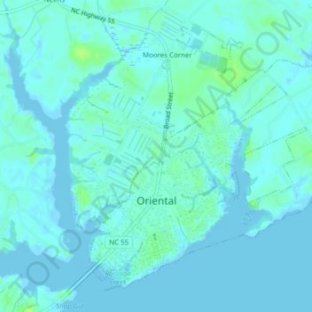
Name: Oriental topographic map, elevation, terrain.
Location: Oriental, Pamlico County, North Carolina, United States (35.02249 -76.70065 35.04910 -76.66230)
Average elevation: 10 ft
Minimum elevation: -10 ft
Maximum elevation: 36 ft
Pamlico County trails, hiking, mountain biking, running and outdoor activities
Other topographic maps
Click on a map to view its topography, its elevation and its terrain.