
Keno City topographic map
Interactive map
Click on the map to display elevation.
About this map
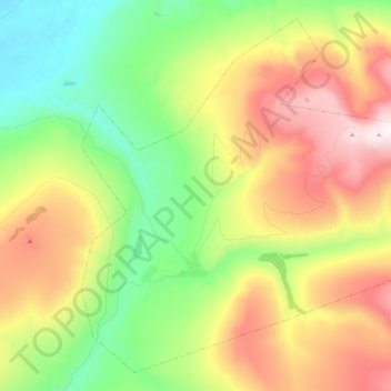
Name: Keno City topographic map, elevation, terrain.
Location: Keno City, Yukon, Canada (63.88464 -135.36395 63.96843 -135.15371)
Average elevation: 3,704 ft
Minimum elevation: 2,260 ft
Maximum elevation: 5,778 ft
Other topographic maps
Click on a map to view its topography, its elevation and its terrain.