
Woodville topographic map
Interactive map
Click on the map to display elevation.
About this map
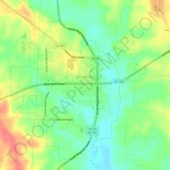
Name: Woodville topographic map, elevation, terrain.
Location: Woodville, Tyler County, Texas, United States (30.75368 -94.44028 30.79620 -94.40801)
Average elevation: 276 ft
Minimum elevation: 187 ft
Maximum elevation: 397 ft
Tyler County trails, hiking, mountain biking, running and outdoor activities
Other topographic maps
Click on a map to view its topography, its elevation and its terrain.