
Voroux-lez-Liers topographic map
Interactive map
Click on the map to display elevation.
About this map
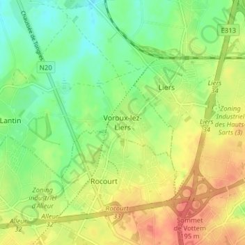
Name: Voroux-lez-Liers topographic map, elevation, terrain.
Location: Voroux-lez-Liers, Liège, Wallonie, 4450, Belgique (50.66763 5.53248 50.70763 5.57248)
Average elevation: 551 ft
Minimum elevation: 469 ft
Maximum elevation: 640 ft