
Papago Park topographic map
Interactive map
Click on the map to display elevation.
Papago Park
The Ponds have a surface area of 6 acres (2.4 ha) with an average depth of 8 ft (2.4 m), the elevation of the area is 1,100 ft (340 m).
About this map
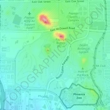
Name: Papago Park topographic map, elevation, terrain.
Average elevation: 1,270 ft
Minimum elevation: 1,171 ft
Maximum elevation: 1,624 ft
Arizona trails, hiking, mountain biking, running and outdoor activities