
Deloraine topographic map
Interactive map
Click on the map to display elevation.
About this map
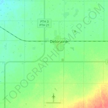
Name: Deloraine topographic map, elevation, terrain.
Location: Deloraine, Manitoba, R0M 0M0, Canada (49.14333 -100.54000 49.22333 -100.46000)
Average elevation: 1,647 ft
Minimum elevation: 1,598 ft
Maximum elevation: 1,759 ft