
Thank you for supporting this site ❤️
Make a donation
Make a donation
Gear up for your next adventure:
As an Amazon Associate, this site earns from qualifying purchases at no extra cost to you.
Retamas topographic map
Click on the map to display elevation.
Thank you for supporting this site ❤️
Make a donation
Make a donation
Gear up for your next adventure:
As an Amazon Associate, this site earns from qualifying purchases at no extra cost to you.
About this map
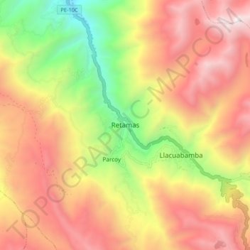
Name: Retamas topographic map, elevation, terrain.
Location: Retamas, Provincia de Pataz, La Libertad, Perú (-8.06277 -77.51525 -7.98277 -77.43525)
Average elevation: 11,768 ft
Minimum elevation: 7,976 ft
Maximum elevation: 14,993 ft
Thank you for supporting this site ❤️
Make a donation
Make a donation
Gear up for your next adventure:
As an Amazon Associate, this site earns from qualifying purchases at no extra cost to you.