
Nottanmala topographic map
Click on the map to display elevation.
About this map
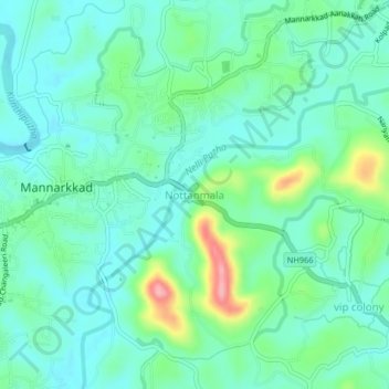
Name: Nottanmala topographic map, elevation, terrain.
Location: Nottanmala, Mannarkad, Palakkad, Kerala, 678582, India (10.97207 76.45132 11.01207 76.49132)
Average elevation: 279 ft
Minimum elevation: 177 ft
Maximum elevation: 600 ft