Geolocate

Baker topographic map

Interactive map

Click on the map to display elevation.

About this map

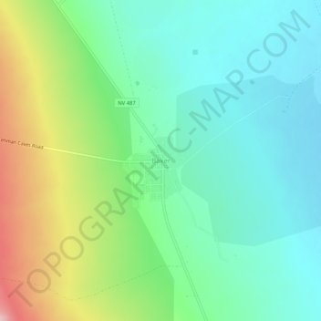
Name: Baker topographic map, elevation, terrain.

Location: Baker, White Pine County, Nevada, 89311, United States (38.99218 -114.14333 39.03218 -114.10333)

Average elevation: 5,354 ft

Minimum elevation: 5,174 ft

Maximum elevation: 5,758 ft

White Pine County trails, hiking, mountain biking, running and outdoor activities

Other topographic maps

Click on a map to view its topography, its elevation and its terrain.

Great Basin National Park

United States > Nevada > White Pine County

The park derives its name from the Great Basin, the dry and mountainous region between the Sierra Nevada and the Wasatch Mountains. Topographically, this area is known as the Basin and Range Province. The park is located about 290 miles (470 km) north of Las Vegas and protects 77,180 acres (31,230 ha).

Average elevation: 7,717 ft