Geolocate

Ithan topographic map

Click on the map to display elevation.

About this map

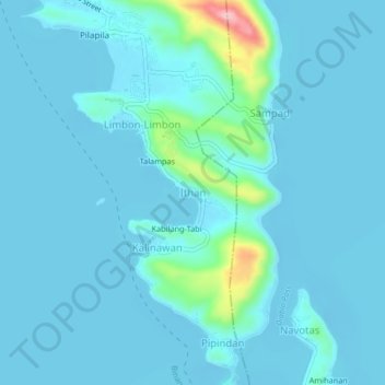
Name: Ithan topographic map, elevation, terrain.

Location: Ithan, Binangonan, Rizal, Calabarzon, 1940, Philippines (14.41259 121.19280 14.45259 121.23280)

Average elevation: 52 ft

Minimum elevation: -16 ft

Maximum elevation: 577 ft

Gear up for your next adventure:

🧤Hiking Gloves - Protective gloves for rugged trails
🥘Titanium Cookware - Durable, featherlight pots and pans for backpacking
🔥Fast-Boil Camping Stoves - Efficient cooking systems for quick trail meals
🩹Survival Bandages - High‑quality bandages for emergencies
🎒Trekking Poles - Sturdy poles for balance and stability on rough terrain

As an Amazon Associate, this site earns from qualifying purchases at no extra cost to you.