
Thank you for supporting this site ❤️
Make a donation
Make a donation
Gear up for your next adventure:
As an Amazon Associate, this site earns from qualifying purchases at no extra cost to you.
Cortelha topographic map
Click on the map to display elevation.
Thank you for supporting this site ❤️
Make a donation
Make a donation
Gear up for your next adventure:
As an Amazon Associate, this site earns from qualifying purchases at no extra cost to you.
About this map
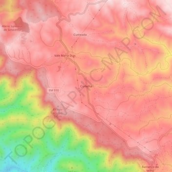
Name: Cortelha topographic map, elevation, terrain.
Location: Cortelha, Salir, Loulé, Faro, 8100-159, Portugal (37.23660 -7.97603 37.27660 -7.93603)
Average elevation: 1,437 ft
Minimum elevation: 653 ft
Maximum elevation: 1,765 ft
Thank you for supporting this site ❤️
Make a donation
Make a donation
Gear up for your next adventure:
As an Amazon Associate, this site earns from qualifying purchases at no extra cost to you.