Geolocate

Little Rincon Mountains topographic map

Click on the map to display elevation.

About this map

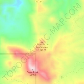
Name: Little Rincon Mountains topographic map, elevation, terrain.

Location: Little Rincon Mountains, Cochise County, Arizona, United States (32.16836 -110.41290 32.16846 -110.41280)

Average elevation: 4,367 ft

Minimum elevation: 3,665 ft

Maximum elevation: 5,131 ft

Cochise County trails, hiking, mountain biking, running and outdoor activities

Other topographic maps

Click on a map to view its topography, its elevation and its terrain.

Whetstone

United States > Arizona > Cochise County

Average elevation: 4,403 ft

St. David

United States > Arizona > Cochise County

Average elevation: 3,734 ft

Huachuca City

United States > Arizona > Cochise County

Average elevation: 4,360 ft

Whetstone

United States > Arizona > Cochise County

Average elevation: 4,344 ft

Gear up for your next adventure:

🔊Portable Camp Speaker - Music and alerts at camp
🗻Climbing Gear Basics - Essential gear for beginner climbers
🛰️Satellite Messengers - Emergency SOS and two-way messaging for off-grid adventures
👟Trail Running Shoes - Lightweight shoes for trail runners
🪶Trail Camera - Capture wildlife on your hikes

As an Amazon Associate, this site earns from qualifying purchases at no extra cost to you.