Geolocate

Chorrillo topographic map

Click on the map to display elevation.

About this map

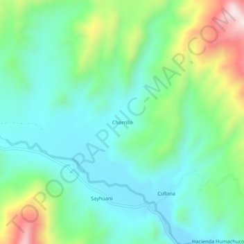
Name: Chorrillo topographic map, elevation, terrain.

Location: Chorrillo, Macari, Melgar, Puno, Perú (-14.69058 -70.99058 -14.65058 -70.95058)

Average elevation: 13,652 ft

Minimum elevation: 13,136 ft

Maximum elevation: 14,997 ft

Gear up for your next adventure:

👟Men's Trail Runners - Lightweight footwear for fast-paced exploration and light hiking
🧣Merino Neck Gaiters - Multi-functional headwear for wind and sun protection
🔋Rechargeable Batteries - Power up your outdoor devices
GPS Sports Watch - GPS watch for running, hiking and training
🪶Camping Sleeping Pad - Comfortable sleeping pad for backpacking

As an Amazon Associate, this site earns from qualifying purchases at no extra cost to you.