
Odzi topographic map
Interactive map
Click on the map to display elevation.
About this map
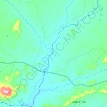
Name: Odzi topographic map, elevation, terrain.
Location: Odzi, Mutare, Manicaland, Zimbabwe (-18.96298 32.39750 -18.83282 32.48512)
Average elevation: 3,389 ft
Minimum elevation: 3,120 ft
Maximum elevation: 5,131 ft
Other topographic maps
Click on a map to view its topography, its elevation and its terrain.