Geolocate

Pal Talav topographic map

Click on the map to display elevation.

About this map

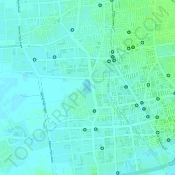
Name: Pal Talav topographic map, elevation, terrain.

Location: Pal Talav, Chorasi Taluka, Surat, Gujarat, India (21.19500 72.77750 21.19765 72.77901)

Average elevation: 30 ft

Minimum elevation: 16 ft

Maximum elevation: 46 ft

Other topographic maps

Click on a map to view its topography, its elevation and its terrain.

Hazira

India > Gujarat > Chorasi Taluka

Average elevation: 13 ft

Gear up for your next adventure:

🧭Compass with Lanyard - Easy‑carry compass for navigation
🏕️Tent Footprint - Protect your tent base from wear
🚗GPS Dash Cams - Record your scenic drives through mountain passes and canyons
🎁Geography Themed Gifts - Unique gift ideas for map lovers and geography enthusiasts
🔪Outdoor Multitools - Essential survival tools for gear repair and field use

As an Amazon Associate, this site earns from qualifying purchases at no extra cost to you.