
Sullivan topographic map
Click on the map to display elevation.
About this map
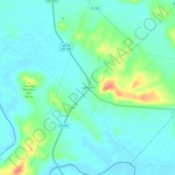
Name: Sullivan topographic map, elevation, terrain.
Location: Sullivan, Union County, Kentucky, 42460, United States (37.47755 -87.96530 37.51755 -87.92530)
Average elevation: 387 ft
Minimum elevation: 341 ft
Maximum elevation: 535 ft
Union County trails, hiking, mountain biking, running and outdoor activities
Other topographic maps
Click on a map to view its topography, its elevation and its terrain.
Breckinridge Center
United States > Kentucky > Union County > Breckinridge Center
Average elevation: 420 ft