Geolocate

Susa topographic map

Click on the map to display elevation.

About this map

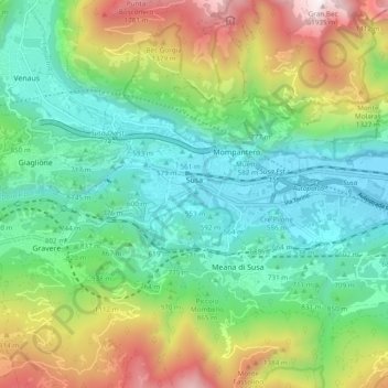
Name: Susa topographic map, elevation, terrain.

Location: Susa, Torino, Piedmont, Italy (45.12409 7.03124 45.14533 7.12690)

Average elevation: 3,038 ft

Minimum elevation: 1,499 ft

Maximum elevation: 6,342 ft

Gear up for your next adventure:

👟Trail Running Shoes - Lightweight shoes for trail runners
🔥Fast-Boil Camping Stoves - Efficient cooking systems for quick trail meals
🛡️Insect Repellent - Protection against bugs during outdoor activities
🔥Plasma Lighters - Windproof lighters that work in any weather condition
🚗GPS Dash Cams - Record your scenic drives through mountain passes and canyons

As an Amazon Associate, this site earns from qualifying purchases at no extra cost to you.