Geolocate

Yar topographic map

Click on the map to display elevation.

About this map

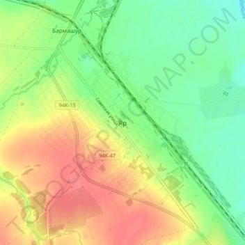
Name: Yar topographic map, elevation, terrain.

Location: Yar, Yarsky District, Udmurtia, Volga Federal District, Russia (58.22318 52.06476 58.26545 52.14563)

Average elevation: 502 ft

Minimum elevation: 413 ft

Maximum elevation: 604 ft

Gear up for your next adventure:

🚪Portable Camp Chair - Foldable chair for comfort at camp
🌡️Portable Weather Meter - Track weather conditions on the trail
🪶Survival Guide Book - Expert advice for emergency preparedness
🌄Hiking Binoculars - Compact binoculars for scenic views and trail spotting
📶Satellite Messenger - Communication device off‑grid

As an Amazon Associate, this site earns from qualifying purchases at no extra cost to you.