
汪岩 topographic map
Interactive map
Click on the map to display elevation.
About this map
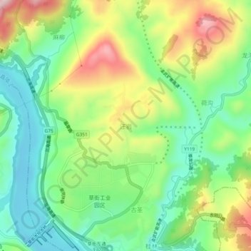
Name: 汪岩 topographic map, elevation, terrain.
Location: 汪岩, 草街街道, 合川区, 重庆市, 中国 (29.89993 106.38470 29.93993 106.42470)
Average elevation: 958 ft
Minimum elevation: 554 ft
Maximum elevation: 1,617 ft
Other topographic maps
Click on a map to view its topography, its elevation and its terrain.