
大庙 topographic map
Interactive map
Click on the map to display elevation.
About this map
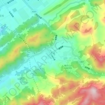
Name: 大庙 topographic map, elevation, terrain.
Location: 大庙, 草街街道, 合川区, 重庆市, 中国 (29.95531 106.38190 29.99531 106.42190)
Average elevation: 1,240 ft
Minimum elevation: 725 ft
Maximum elevation: 2,087 ft
Other topographic maps
Click on a map to view its topography, its elevation and its terrain.