
24228 topographic map
Click on the map to display elevation.
About this map
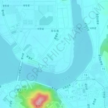
Name: 24228 topographic map, elevation, terrain.
Location: 24228, Chuncheon-si, Gangwon State, South Korea (37.90057 127.73855 37.90067 127.73865)
Average elevation: 279 ft
Minimum elevation: 220 ft
Maximum elevation: 915 ft
Other topographic maps
Click on a map to view its topography, its elevation and its terrain.