
Auth Village topographic map
Click on the map to display elevation.
About this map
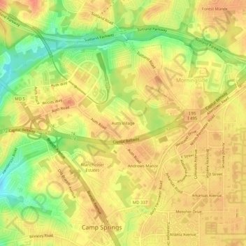
Name: Auth Village topographic map, elevation, terrain.
Average elevation: 253 ft
Minimum elevation: 154 ft
Maximum elevation: 299 ft
Prince George's County trails, hiking, mountain biking, running and outdoor activities
Other topographic maps
Click on a map to view its topography, its elevation and its terrain.
Camp Springs
United States > Maryland > Prince George's County > Camp Springs
Average elevation: 236 ft