
Wildenburg topographic map
Click on the map to display elevation.
Wildenburg
Die Burg wurde zwischen 1202 und 1235 erbaut und ist eine der wenigen Eifeler Höhenburgen, die nicht durch Kriegseinwirkung oder Abriss zerstört worden sind. Sie war Mittelpunkt einer Herrschaft, die sich im Westen bis an die heutige belgische Grenze und im Osten bis vor die Tore der Abtei Steinfeld erstreckte. Wie schon im Mittelalter ist der Ort nur über eine einzige Straße zu erreichen, die heutige Landesstraße 22, welche vom Tal des Reifferscheider Baches über Steinfeld ins Tal der Urft führt.
About this map
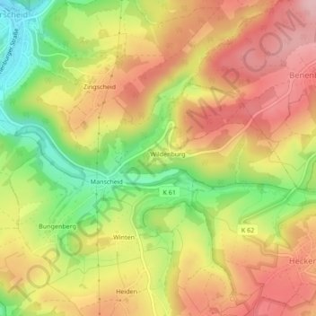
Name: Wildenburg topographic map, elevation, terrain.
Average elevation: 1,706 ft
Minimum elevation: 1,371 ft
Maximum elevation: 1,969 ft