Perkins topographic map
Interactive map
Click on the map to display elevation.
About this map
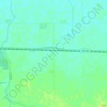
Name: Perkins topographic map, elevation, terrain.
Location: Perkins, Newton County, Indiana, United States (40.75504 -87.37308 40.77504 -87.35308)
Average elevation: 692 ft
Minimum elevation: 673 ft
Maximum elevation: 725 ft
Other topographic maps
Click on a map to view its topography, its elevation and its terrain.
Morocco
United States > Indiana > Newton County
Morocco, Newton County, Indiana, 47963, United States
Average elevation: 692 ft
Lake Village
United States > Indiana > Newton County
Lake Village, Newton County, Indiana, 46349, United States
Average elevation: 659 ft
Goodland
United States > Indiana > Newton County > Goodland
Goodland, Newton County, Indiana, United States
Average elevation: 728 ft
Iroquois River
United States > Indiana > Newton County
Iroquois River, Newton County, Indiana, 60970, United States
Average elevation: 659 ft