

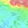
Gassin topographic map
Click on the map to display elevation.
About this map
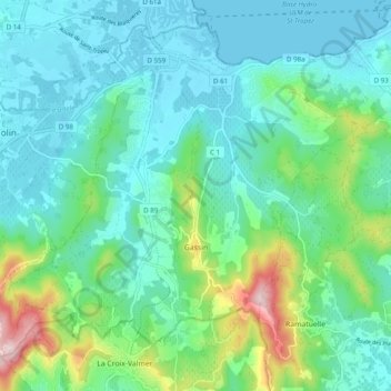
Name: Gassin topographic map, elevation, terrain.
Average elevation: 226 ft
Minimum elevation: 0 ft
Maximum elevation: 1,050 ft
Other topographic maps
Click on a map to view its topography, its elevation and its terrain.

Les Mas de Guerrevieille
France > Provence-Alpes-Côte d'Azur > Var > Sainte-Maxime
Average elevation: 197 ft



Le Canadel
France > Provence-Alpes-Côte d'Azur > Var > Rayol-Canadel-sur-Mer
Average elevation: 443 ft
Ruines du Barrage de Malpasset
France > Provence-Alpes-Côte d'Azur > Var > Fréjus
Average elevation: 387 ft
Le Camp du Castellet
France > Provence-Alpes-Côte d'Azur > Var > Le Castellet
Average elevation: 1,217 ft
Val d'Esquieres
France > Provence-Alpes-Côte d'Azur > Var > Roquebrune-sur-Argens
Average elevation: 269 ft

Plage de Bonporteau
France > Provence-Alpes-Côte d'Azur > Var > Cavalaire-sur-Mer
Average elevation: 135 ft
Le Plan
France > Provence-Alpes-Côte d'Azur > Var > Plan-d'Aups-Sainte-Baume
Average elevation: 2,362 ft
forêt de Sainte barbe
France > Provence-Alpes-Côte d'Azur > Var > Draguignan
Average elevation: 771 ft