
Thank you for supporting this site ❤️
Make a donation
Make a donation
Gear up for your next adventure:
As an Amazon Associate, this site earns from qualifying purchases at no extra cost to you.
Janai topographic map
Click on the map to display elevation.
Thank you for supporting this site ❤️
Make a donation
Make a donation
Gear up for your next adventure:
As an Amazon Associate, this site earns from qualifying purchases at no extra cost to you.
About this map
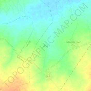
Name: Janai topographic map, elevation, terrain.
Location: Janai, Jalli, Dawakin Tofa, Kano State, Nigeria (12.17710 8.44064 12.21710 8.48064)
Average elevation: 1,499 ft
Minimum elevation: 1,450 ft
Maximum elevation: 1,558 ft
Thank you for supporting this site ❤️
Make a donation
Make a donation
Gear up for your next adventure:
As an Amazon Associate, this site earns from qualifying purchases at no extra cost to you.