
Buffalo topographic map
Click on the map to display elevation.
About this map
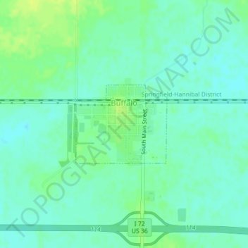
Name: Buffalo topographic map, elevation, terrain.
Location: Buffalo, Sangamon County, Illinois, United States (39.84595 -89.41555 39.85451 -89.40263)
Average elevation: 604 ft
Minimum elevation: 581 ft
Maximum elevation: 633 ft
Sangamon County trails, hiking, mountain biking, running and outdoor activities
Other topographic maps
Click on a map to view its topography, its elevation and its terrain.