
Edina topographic map
Click on the map to display elevation.
About this map
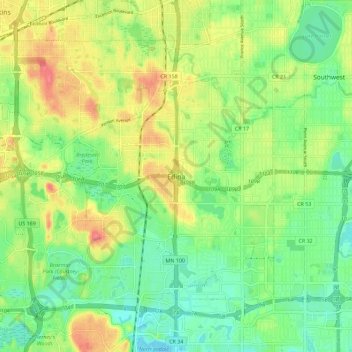
Name: Edina topographic map, elevation, terrain.
Location: Edina, Hennepin County, Minnesota, 55435, United States (44.84970 -93.39012 44.92970 -93.31012)
Average elevation: 886 ft
Minimum elevation: 797 ft
Maximum elevation: 1,004 ft
Hennepin County trails, hiking, mountain biking, running and outdoor activities