
Verona topographic map
Click on the map to display elevation.
About this map
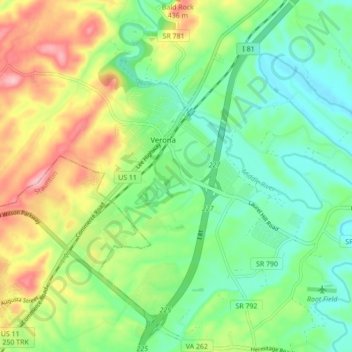
Name: Verona topographic map, elevation, terrain.
Location: Verona, Augusta County, Virginia, 24482, United States (38.16665 -79.05609 38.22351 -78.96941)
Average elevation: 1,329 ft
Minimum elevation: 1,138 ft
Maximum elevation: 1,663 ft
Augusta County trails, hiking, mountain biking, running and outdoor activities