
Jevura topographic map
Click on the map to display elevation.
About this map
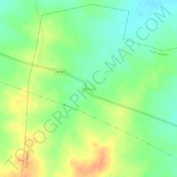
Name: Jevura topographic map, elevation, terrain.
Location: Jevura, Indi taluku, Vijayapura district, Karnataka, India (17.24612 75.75405 17.28612 75.79405)
Average elevation: 1,608 ft
Minimum elevation: 1,545 ft
Maximum elevation: 1,683 ft