Geolocate

Lurton topographic map

Click on the map to display elevation.

About this map

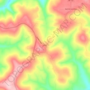
Name: Lurton topographic map, elevation, terrain.

Location: Lurton, Newton County, Arkansas, United States (35.75147 -93.09767 35.79147 -93.05767)

Average elevation: 1,900 ft

Minimum elevation: 1,483 ft

Maximum elevation: 2,192 ft

Newton County trails, hiking, mountain biking, running and outdoor activities

Gear up for your next adventure:

📦Dry Bags Set - Waterproof storage for electronics and clothes
🎁Geography Themed Gifts - Unique gift ideas for map lovers and geography enthusiasts
🛏️Cold Weather Sleeping Bag - Warm sleeping bag for cold conditions
👟Men's Trail Runners - Lightweight footwear for fast-paced exploration and light hiking
🧺Microfiber Travel Towels - Compact and fast-drying towels for trail use

As an Amazon Associate, this site earns from qualifying purchases at no extra cost to you.