Geolocate

Puconci topographic map

Click on the map to display elevation.

About this map

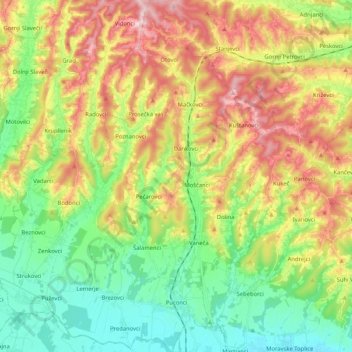
Name: Puconci topographic map, elevation, terrain.

Location: Puconci, Slovenia (46.68424 16.04448 46.82599 16.21324)

Average elevation: 899 ft

Minimum elevation: 610 ft

Maximum elevation: 1,309 ft

Gear up for your next adventure:

🔋Rechargeable Batteries - Power up your outdoor devices
📚USA Hiking Guide Books - Top trail guides and map books
🪄Magnetic Compass - Accurate compass for navigation
🥤Water Filter Bottle - All‑in‑one filter bottle for safe hydration
🧢Sun Protection Hats - Wide-brimmed and UPF-rated hats for high-altitude sun safety

As an Amazon Associate, this site earns from qualifying purchases at no extra cost to you.