Geolocate

Raya topographic map

Click on the map to display elevation.

About this map

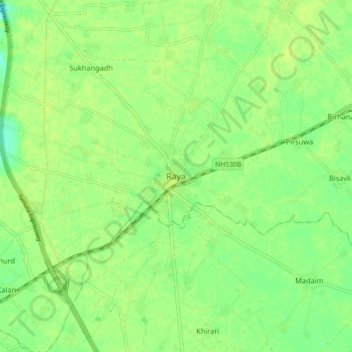
Name: Raya topographic map, elevation, terrain.

Location: Raya, Mat, Mathura, Uttar Pradesh, 281204, India (27.51760 77.75160 27.59760 77.83160)

Average elevation: 587 ft

Minimum elevation: 558 ft

Maximum elevation: 597 ft

Gear up for your next adventure:

🔭Compact Binoculars - HD vision for scouting terrain and identifying distant landmarks
🏔️Mountain Trail Maps - High‑detail maps for popular peaks
🎒Day Hiking Backpack - Lightweight backpack perfect for day trips and outdoor adventures
🏕️Family Camping Gear - Essentials for group camping trips
🔌USB Car Charger - Car charger for on‑the‑go power needs

As an Amazon Associate, this site earns from qualifying purchases at no extra cost to you.